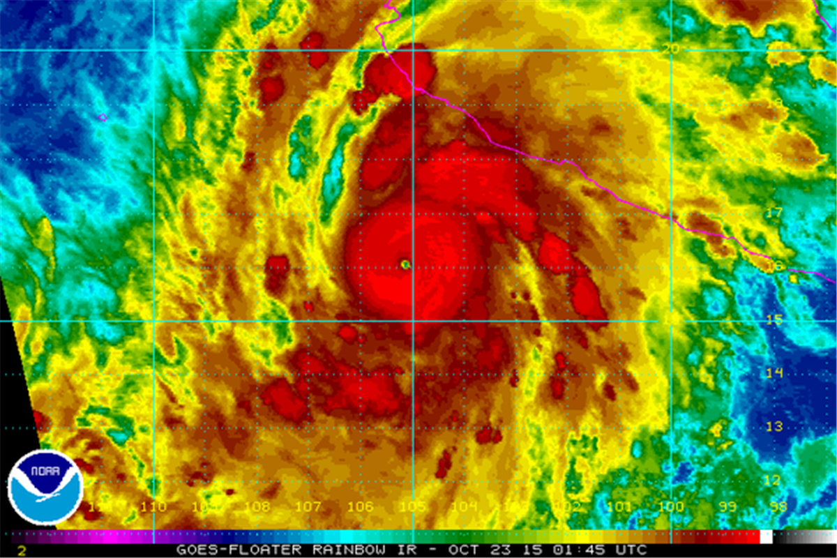
A rather active weather pattern will continue through this week for DFW. Our next system to affect the area will arrive on Wednesday in the form of a Pacific cold front. The low pressure associated with this system will eject from the four corners region onto the Central Plains rather quickly. Scattered showers and a few thunderstorms will be able to form in the warm air advection pattern out ahead of this system as early as Tuesday night. However, our best chances for rain will come Wednesday morning with the passage of the cold front. At this time, given the timing of this system, speed, and lack of instability aloft, severe weather is not expected for the immediate DFW Metroplex. Rain amounts will be rather limited as well given the speed of the system. Winds behind the cold front will be quite strong bringing much drier air into the region. Winds could gust in the 30 to 40 mph range on Wednesday afternoon. The cool air associated with this frontal passage will not actually truly be felt until Wednesday night into Thursday morning where overnight lows will drop into the low to mid 40s area wide.
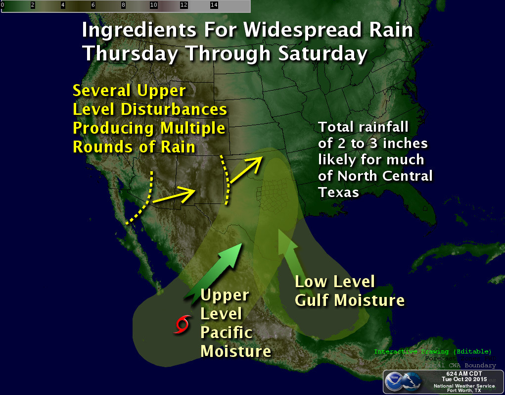
Another system will approach the area by next weekend brining our next bout of rain, especially on Sunday. This system may become detached from the mean flow and be a less progressive system.
There is still no indication of any truly cold air or freezes coming our way, at least not in the next ten days.